🚀 We’re in Beta!
Meet our new design. Everything works as usual, but if anything feels off,
give us a ping
.
Back to top
Catalog
Baby
Beauty & Grooming
Books
Electronics
Fashion
Health
Home & Kitchen
Sports
Toys
Get the app
Cameroon
Cart
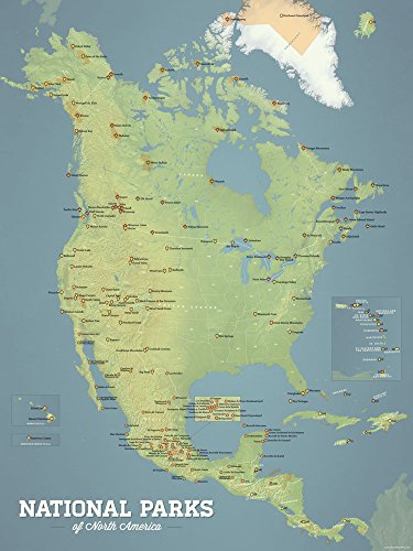
Maps International Huge Physical North America Wall Map - Laminated - 55 x 46 Office Product
4.6
72,476 Fr
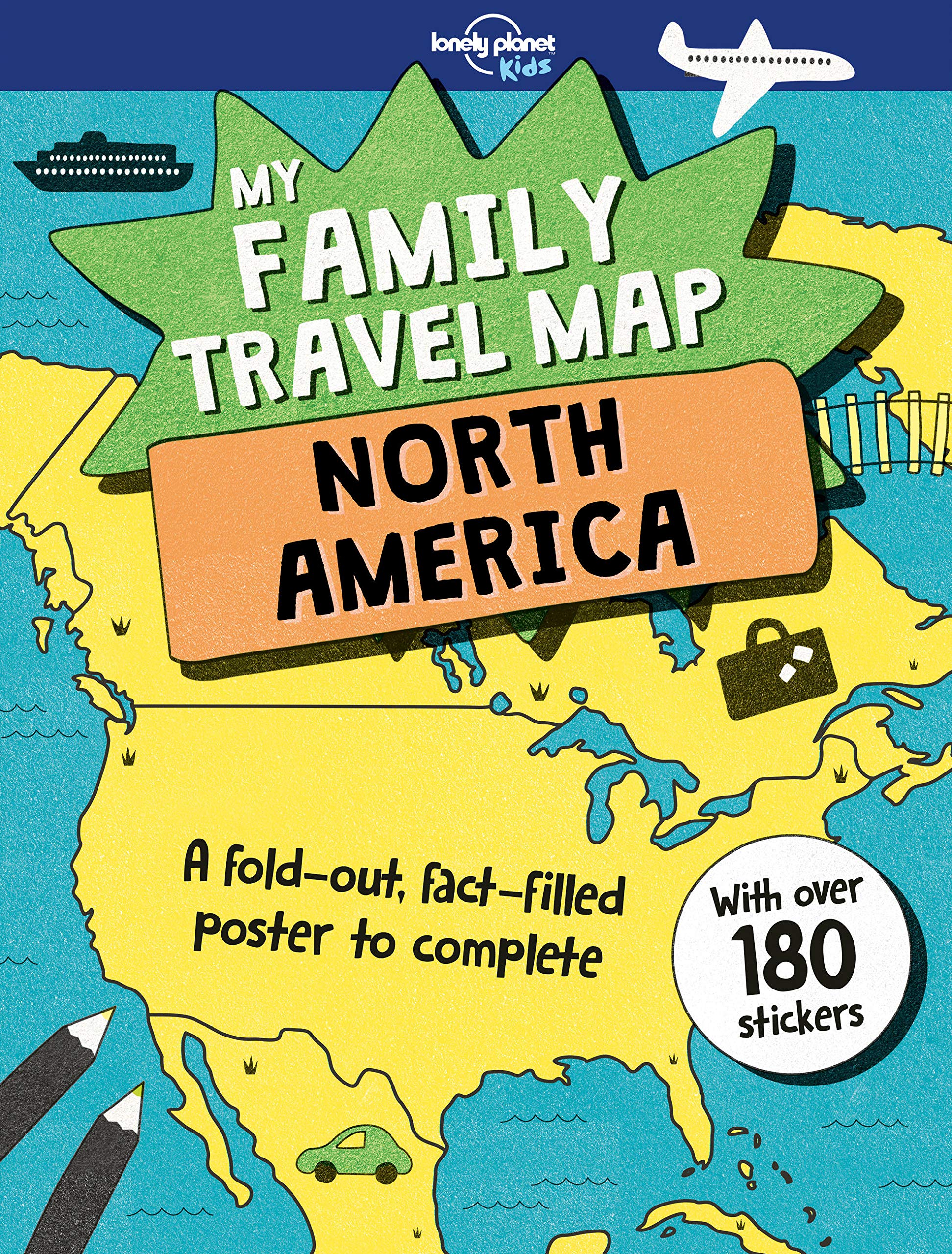
My Family Travel Map - North America 1
7,829 Fr
Map of USA 50 States with Capitals Poster - Laminated, 17 x 22 inches - Colorful Complete Map of United States for Children - North America, US Wall Map - Classroom & Homeschool
4.6
16,400 Fr
National Geographic: North America Physical Wall Map - 22 x 28 inches - Laminated
26,417 Fr
Native American Art Decor Tribes Map Posters Wall Art Posters For Classroom Education Heritage Month Decorations Cultural History Cool Wall Art Print Poster 18x12
4.5
14,300 Fr
AMNH Birds of North America
29,029 Fr
North America Wall Map GeoPolitical Edition by Swiftmaps (18x22 Laminated)
4.5
18,200 Fr
CoolOwlMaps North America Continent Wall Map Poster - Rolled (laminated 24x32)
4.6
17,085 Fr
HISTORIX Vintage 1849 Map of North America - 24x30 Inch Vintage Wall Map of North America Poster - United States Canada Mexico Central America Caribbean Islands - Old North America Map Print Wall Art
4.4
93,900 Fr
South America Dry Erase Map
4.4
FREE
Boletes of Eastern North America
125,900 Fr
ImageAbility North America Laminated Gloss Time Zone Area Code Map with Reverse Lookup, Desk Size 11 by 17 Inches
4.6
16,300 Fr
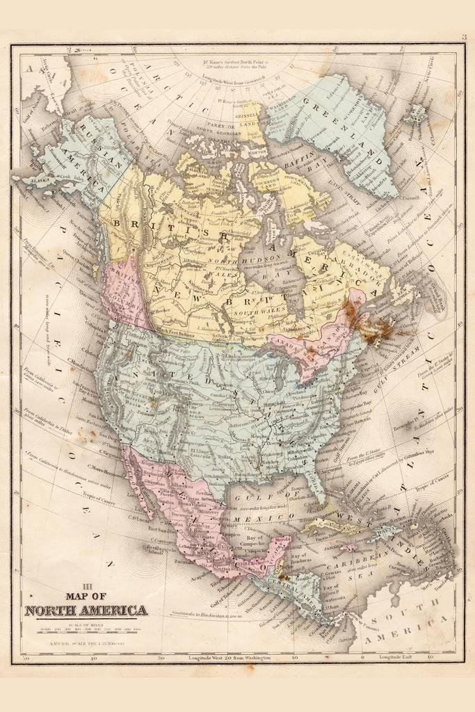
Historic Map : North America, 1804 (The First Map to Illustrate The Louisiana Purchase), 1804, Robert Wilkinson, Vintage Wall Art : 30in x 24in
42,700 Fr
North America
8,600 Fr
Classic North America Push Pin Travel Map with Brown Frame and Pins
4.7
254,900 Fr
North America
20,063 Fr
National Geographic: North America Executive Wall Map - Antique Style - 23.5 x 30.25 inches - Art Quality Print
31,702 Fr
Common Spiders of North America
27,775 Fr
EuroGraphics Map of North America Poster, 36 x 24 inch
4.7
15,386 Fr
Gifts DelightLaminated 24x28 Poster: Political Map - North America Political Wall Map
24,400 Fr
Shrahala World Map Tapestry Wall Hanging for Kids Student, Vintage Map North and South America Europe Ocean Educational Tapestry for School Classroom Dorm Room Bedroom 39.1" L x 59.1" W,Yellow Beige
4.5
29,200 Fr
North America
16,838 Fr
North America Wall Map - Atlas of Canada - 34" x 39" Paper
4.5
33,900 Fr
North America Ski Resorts Map 24x36 Poster (Natural Earth)
4.7
23,360 Fr
24x36 World Classic Premier Wall Map Poster (Laminated)
4.6
26,900 Fr
North America Scratch Off Map Lighting in the Dark with Challenges, Large States, USA Map, Flags and More than 100 Best Places and National Parks to Visit. Push Pin Travel Tracker Map
3.9
21,403 Fr
Gifts Delight Laminated 29x24 Poster: Physical Map - Physical Features of North America - The Hippest Pics
36,200 Fr
North America Map - Historical Antique Wall Art Decor for Home, Office, Study, Library, Vintage Artwork Reproduction, Gift for Map Collectors, 11x14 Unframed Art Print Poster
4.2
16,000 Fr
Maps International Giant Classic USA Mega-Map - Map of The United States Poster - Front Lamination - 46 x 80
4.7
47,100 Fr
Swiftmaps World and USA Contemporary Premier 3D Two Wall Map Set (24x36 Laminated)
4.7
31,900 Fr
USA Native American Indian Tribes Map - 1944 Unframed Pictorial Map Wall Poster, Wall Art Decor, Vintage Decorations - Indian People in America - Gift for Men, Women, Kids, Teens, Teachers 23"x35"
4.6
40,300 Fr
1650 US Native American Tribes Map Indian Languages - Linguistic Stocks Poster Historical Poster Unframed - Social Studies Classroom Decorations (23"x31")
4.5
38,100 Fr
North America Political & Physical Continent Map with Country Flags - 17" x 13.25" (Laminated)
4.5
37,700 Fr
24x36 World and USA Classic Premier 3D Two Wall Map Set (Laminated)
4.7
28,200 Fr
24x36 United States, USA Classic Elite Wall Map Mural Poster (Paper Folded)
4.7
14,500 Fr
South America Wall Map GeoPolitical Edition by Swiftmaps (18x22 Laminated)
4.6
20,300 Fr
Best Maps Ever North America National Parks Map 24x36 Poster (Natural Earth)
4
52,900 Fr
KYKU World Map Tapestry Blue Earth Tapestry North America Europe Africa Countries Globe Tapestry Travel Map Tapestry for Bedroom Living Room Dorm Decor (W59.1 × H51.2, Blue)
4.5
19,100 Fr
North America Satin Finish Full Color Time Zone Area Code Map with Reverse Lookup, Extra Large 31 by 48 Inch Wall Size
4.3
5,800 Fr
24x36 United States, USA US Executive Wall Map Poster Mural (24x36 PAPER)
4.7
19,700 Fr
Trends International Chalk Map North America Wall Poster 22.375" x 34"
4
13,000 Fr
Ambesonne Map Tapestry, Map of South and North America with Countries Capitals and Major Cities Colorful Design, Wall Hanging for Bedroom Living Room Dorm Decor, 40" X 60", Green White
5
16,603 Fr
2 Pack - USA Map for Kids [Illustrated] + United States of America Map [Blue Ocean] (LAMINATED, 18" x 29")
4.7
14,400 Fr
Push Pin North America Map Board - With Push Pins to Mark North America Travel - Handmade in Ohio, USA - Design: Rustic Vintage
65,685 Fr
USA Canada Mexico Premium Quality Scratch Off Map Travel Poster - 24x17" - Unique Traveler Gift - Track USA and North America Adventure - Country Flags - State National Parks Landmarks + Accessory Set
4.7
61,400 Fr
Best Maps Ever North America National Parks Checklist 18x24 Poster (Natural Earth)
5
17,328 Fr
Laminated World Map & US Map Poster Set - 18" x 29" - Wall Chart Maps of the World & United States - Made in the USA (LAMINATED)
4.8
12,800 Fr
Large Blank United States Outline Map Poster, Laminated, 36” x 24” | Great Blank Wall Map for Classroom or Home Study | Free Dry Erase Marker Included | Includes Detailed Laminated Answer Sheet
4.6
53,900 Fr
KappaMapping Company United States Poster Size Wall Map 40 x 28 with Cities (1 Map)
4.6
9,000 Fr
Map Of North America 1650 Nby Nicolas Sanson The First Printed Map To Show All Five Of The Great Lakes And Vaguely Locating The Legendary Lands Of Cibola And Quivira In The Southwest Poster Print by
28,100 Fr
North America Executive, Laminated: Wall Maps Continents
4.3
27,400 Fr
North America Map, Pleated Physical/Political 1:8 000 000
18,500 Fr
Palace Learning Laminated USA Map - 18" x 29" - Wall Chart Map of The United States of America - Made in The USA - Updated (Laminated, 18" x 29")
4.7
10,100 Fr
TomTom Go Comfort 5-Inch GPS Navigation Device with Updates via Wi-Fi, Real Time Traffic, Free Maps of North America, Smart Routing, Destination Prediction and Road Trips
4.2
140,179 Fr
Map Of North America 1585 Njohn WhiteS Map Of AmericaS Eastern Coast From Chesapeake To Florida 1585 Poster Print by (18 x 24)
28,500 Fr
Safety Magnets Map of USA 50 States with Capitals Poster - Laminated, 17 x 22 inches - Colorful Complete Map of United States for Children - North America, US Wall Map - Classroom & Homeschool
4.6
18,206 Fr
Maps International Scratch Off Map Of The US – USA Wall Map – Scratch Off – Detailed cartography - US States - National Parks - 24 x 36
4.7
30,700 Fr
Map North America 1742 Npossession Of The Spanish And The English In North America C1742 According To The Treaty Of 1670 Line Engraving 19Th Century After A Contemporary Drawing Poster Print by (24 x
55,400 Fr
Swiftmaps North America Wall Map GeoPolitical Edition by SM NA SM L
4.5
26,500 Fr
The Native Races of the Pacific States of North America. with Maps.
39,300 Fr
Shrahala World Map Tapestry, Vintage Map of North and South America Wall Hanging Large Tapestry Psychedelic Tapestry Decorations Bedroom Living Room Dorm(39.4 x 59.1 Inches, Beige)
4.5
15,000 Fr
TomTom Go 52 5-Inch GPS Navigation Device with Wi-Fi, Real Time Traffic, Free Maps of North America, Siri and Google Now Compatibility, Hands-Free Calling and Smartphone Messaging
4.2
132,841 Fr
North America Classic, Tubed: Wall Maps Continents
4.3
21,500 Fr
Map Of North America 1585 Njohn WhiteS Map Of AmericaS Eastern Coast From Chesapeake To Florida 1585 Poster Print by (24 x 36)
55,400 Fr
US Map with Pins to Mark Travels | Personalized US Wall Map Pin Board on Canvas | Large US Maps for Wall Art up to 40" x 59
4.7
130,900 Fr
Scratch Off Map USA North America Travel Poster - Country Flags - State National Parks Landmarks - International Travelers - Track USA Canada Mexico Adventure + Gift Scratching Tools - by FreedoMaps
101,900 Fr
INFINITE PHOTOGRAPHS 1755 Map| A New and Accurate map of North America : wherein The Errors of All Proceeding Br
32,800 Fr
North America Map Coloring Book - World Map Series Volume 01: Geography Activity Book For North American Countries Includes Maps, Flags, Emblem, ... Territory (Map Coloring Activity Book)
11,400 Fr
Map North America 1742 Npossession Of The Spanish And The English In North America C1742 According To The Treaty Of 1670 Line Engraving 19Th Century After A Contemporary Drawing Poster Print by (18 x
28,500 Fr
My Family Travel Map - North America
14,300 Fr
North America 1867 Vintage Antique Style Map Travel World Map with Cities in Detail Map Posters for Wall Map Art Wall Decor Geographical Illustration Destination Cool Wall Decor Art Print Poster 24x36
4.3
11,600 Fr
TomTom Go Comfort 6 Inch GPS Navigation Device with Updates Via Wi-Fi, Real Time Traffic, Free Maps of North America, Smart Routing, Destination Prediction and Road Trips
4.1
435,941 Fr
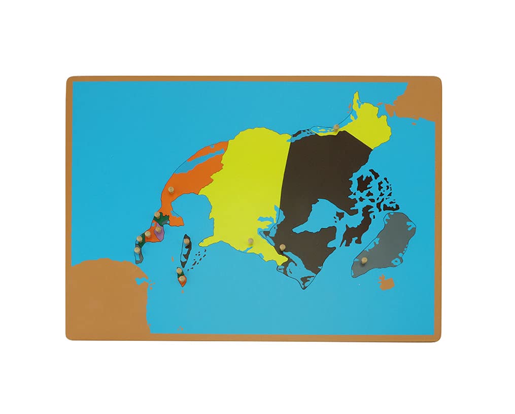
North America map panel puzzle Montessori teaching aids,Toddler Geographic cognition Wooden scientific and cultural Preschool Toys(58 cm * 45 cm)
216,900 Fr
INFINITE PHOTOGRAPHS 1765 Map| Map of North America,| America|British|North America Map Size: 20 inches x 2
32,800 Fr
INFINITE PHOTOGRAPHS 1765 Map| Map of North America,| America|British|North America Map Size: 20 inches x 2
31,800 Fr
1852 Levasseur of North America (w- Republic of Texas) Map|Vintage Fine Art Reproduction|Size: 18x24|Ready to Frame
28,296 Fr
INFINITE PHOTOGRAPHS 1763 Map| an Accurate map of North America Describing and distinguishing The British and Fr
32,800 Fr
1607 French Map of North America from Western Nova Scotia to Cape Cod|18"x24" Wall Map
29,700 Fr
INFINITE PHOTOGRAPHS 1781 Map| A New map of North America : from Latest Discoveries, 1778| North America Ma
31,800 Fr
INFINITE PHOTOGRAPHS 1750 Map| an Accurate map of North America from The Latest Discoveries| North America
32,800 Fr
GPS Navigation for Car, Lifetime Maps Update Car Navigator GPS Navigation System Voice Broadcast Navigation North America Map Updata Contains USA Canada Mexico map
50,533 Fr
INFINITE PHOTOGRAPHS 1763 Map| A New and Accurate map of North America, Laid Down According to The Latest, and m
54,900 Fr
INFINITE PHOTOGRAPHS 1779 Map| A New and Correct map of North America; with The West India Islands. Divided acco
54,400 Fr
INFINITE PHOTOGRAPHS 1848 Map| North America| Amerika-yi simali k?t?as? haritas?d?r. Map Size: 20 inches x
32,200 Fr
INFINITE PHOTOGRAPHS 1792 Map| North America|Pacific Coast|Pacific Coast North America| Carta de Los descru
31,800 Fr
INFINITE PHOTOGRAPHS 1787 Map| North America Drawn from The Latest and Best Authorities| North America Map
28,358 Fr
INFINITE PHOTOGRAPHS 1763 Map| Louisiana|North America|United States| Amplissima regionis Mississipi seu pr
32,400 Fr
INFINITE PHOTOGRAPHS 1763 Map| A New map of North America wherein The British Dominions in The Continent of Nort
32,100 Fr
Field Guide To Birds Of North America (6th Edition): Guide Book
25,500 Fr
INFINITE PHOTOGRAPHS 1772 Map| North America| Carte des Parties nord et ouest de l'Amerique Map Size: 20 in
32,800 Fr
INFINITE PHOTOGRAPHS 1786 Map| A New map of North America, with The West India Islands. Divided According to The
32,800 Fr
INFINITE PHOTOGRAPHS 1755 Map| North America| Carte des Possessions angloises & francoises du Continent de
32,200 Fr
1722 map of North America Chief Cities, Towns, Rivers, Mountains|Shows California as an Island
29,700 Fr
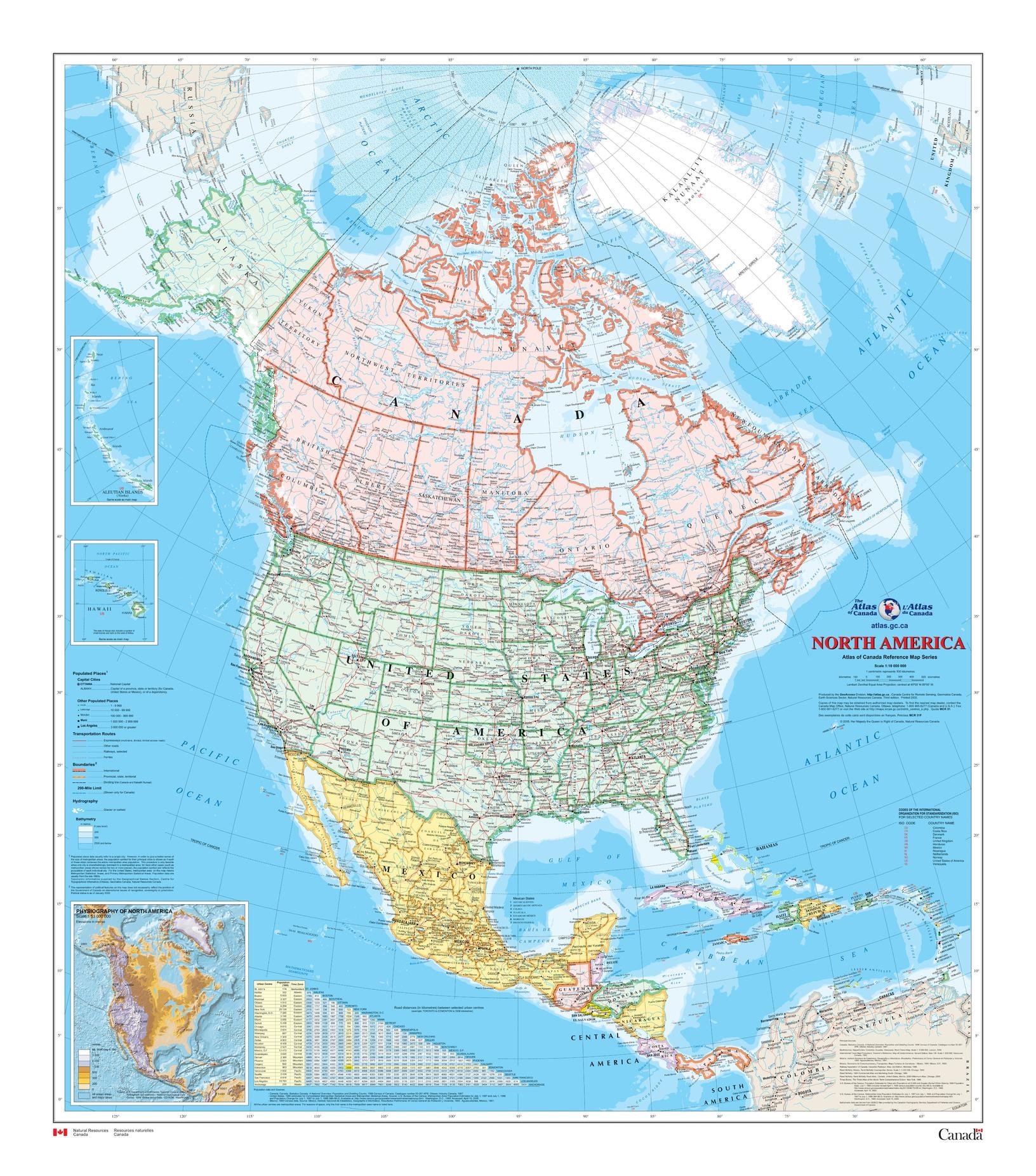
Natural Resources Canada North America Wall Map - Atlas of - 34" x 39" Paper
4.5
57,900 Fr
INFINITE PHOTOGRAPHS 1787 Map| North America Drawn from The Latest and Best Authorities| North America Map
28,291 Fr
Map: 1722 A new of North America shewing its principal divisions, chief cities, townes, rivers, mountains &c. Dedicated to His Highness William Duke of Glocester|North America|North American
29,700 Fr
INFINITE PHOTOGRAPHS 1642 Map| North America| Nova Anglia, Novvm Belgivm et Virginia. Map Size: 20 inches x
32,000 Fr
Brands
Lonely Planet Kids
Zoco
Poster Foundry
Dk
Swiftmaps
Cool Owl Maps
Wall Pops
Alan Bessette
Imageability
Martha London
Emily C. Koenig
Richard A. Bradley
Eurographics
Mapsherpa
Mymap
Lone Star Art
Maps International
Artcanthurtu
Kyku
Trends International
Palace Learning
Best Maps Ever
South Of Kings
Kappa
Tomtom
Safety Magnets
Pin Adventure Map
Natural Resources Canada


![2 Pack - USA Map for Kids [Illustrated] + United States of America Map [Blue Ocean] (LAMINATED, 18" x 29")](https://m.media-amazon.com/images/I/A1Iz3w-oCUL.jpg)