Very High Resolution (VHR) Satellite Imagery
52,010 Fr

Water quality monitoring in coastal areas using satellite imagery
66,868 Fr

Weather Analysis and Forecasting: Applying Satellite Water Vapor Imagery and Potential Vorticity Analysis
FREE

Improving Infrared-Based Precipitation Retrieval Algorithms Using Multi-Spectral Satellite Imagery (Springer Theses)
69,954 Fr

High Resolution Optical Satellite Imagery
139,900 Fr

Satellite Basics for Everyone: An Illustrated Guide to Satellites for Non-Technical and Technical People Paperback – 4 Jun. 2012
19,600 Fr

Analyzing the Large Number of Variables in Biomedical and Satellite Imagery
28,043 Fr

The Users, Uses, and Value of Landsat and Other Moderate-Resolution Satellite Imagery in the United States-Executive Report
9,038 Fr

HIGH RESOLUTION OPTICAL SATELLITE IMAGERY: 2nd edition Hardcover – Import, 31 May 2022
70,282 Fr

Imagery and GIS: Best Practices for Extracting Information from Imagery
69,975 Fr

Estimating Cropland Development by the Use of Satellite Imagery (Classic Reprint)
7,582 Fr

Very High Resolution (VHR) Satellite Imagery
44,904 Fr

High Resolution Optical Satellite Imagery: 2nd edition
111,900 Fr

Geospatial Analysis of Satellite Imagery
128,900 Fr

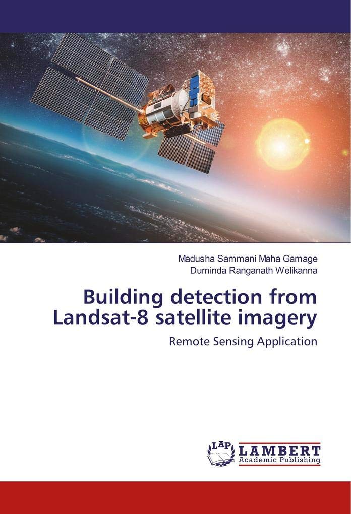
Building detection from Landsat-8 satellite imagery: Remote Sensing Application
22,091 Fr

National Geographic Visual Atlas of the World
112,900 Fr

Land Surface Monitoring Based on Satellite Imagery
56,038 Fr

High Resolution Optical Satellite Imagery
160,900 Fr

Building detection from Landsat-8 satellite imagery: Remote Sensing Application
21,360 Fr

The ArcGIS Imagery Book: New View. New Vision.
55,900 Fr

Commercial Satellite Imagery and United Nations Peacekeeping: A View From Above
83,400 Fr

Object Detection and Classification on Satellite Imagery: Using Computer Vision and A.I.
31,219 Fr

Analyzing the Large Number of Variables in Biomedical and Satellite Imagery
114,900 Fr

Mapping the Spatial Distribution of Poverty Using Satellite Imagery in the Philippines
18,088 Fr

Machine and Deep Learning Techniques for Content Extraction of Satellite Images
14,550 Fr

The Users, Uses, and Value of Landsat and Other Moderate-Resolution Satellite Imagery in the United States-Executive Report
14,804 Fr

"Reader's Digest" Illustrated Great World Atlas
50,443 Fr

The application of optical satellite imagery and census data for urban population estimation
71,093 Fr

Thematic Mapping From Satellite Imagery: A Guidebook
46,053 Fr

Satellite Geology and Photogeomorphology: An Instructional Manual for Data Integration
108,365 Fr

Building detection from Landsat-8 satellite imagery: Remote Sensing Application
32,274 Fr

Remote Sensing Satellite Images for Vegetation Mapping: Multi-resolution Imagery and Object-oriented Techniques for Vegetation Mapping of Urban Areas
62,055 Fr

Modeling and Simulation of Commercial Satellite Imagery Processes
54,054 Fr

STARGOLD Satellite Receiver 4K Full HD Dual display HD and SD Simultaneous Automatic network search MPEG2 SD, MPEG2 HD, h.264/AVC HD (SG-640HD PRO)
2,000 Fr

The Final Frontier: News Media's Use of Commercial Satellite Imagery During Wartime
53,233 Fr

Weather Analysis and Forecasting: Applying Satellite Water Vapor Imagery and Potential Vorticity Analysis
77,542 Fr

Detection of Land Cover of Dhaka City from Satellite Imageries
47,101 Fr

SMART STARSAT SR-90000 XTREAM Receiver
82,400 Fr

Universe: Stunning Satellite Imagery from Outer Space
37,332 Fr

Automatic Extraction of Building and Road Features: An sment using High Resolution Satellite Imagery
31,612 Fr

Effectiveness of Contrast Limited Adaptive Histogram Equalization on Multispectral Satellite Imagery
18,765 Fr

Landsat & Its Valuable Role in Satellite Imagery of Earth
99,669 Fr

Remote Assessment of Ocean Color for Interpretation of Satellite Visible Imagery: A Review
201,900 Fr

Collins Student Atlas: Ideal for learning at school and at home
11,862 Fr

Earth Engine and Geemap: Geospatial Data Science with Python
67,983 Fr

Weather Analysis and Forecasting: Applying Satellite Water Vapor Imagery and Potential Vorticity Analysis
77,308 Fr

Launches Direction Satellite Surrounding Rich and Rich Bank Saving Box Coin
17,590 Fr

Water quality monitoring in coastal areas using satellite imagery
58,015 Fr

Improving Infrared-Based Precipitation Retrieval Algorithms Using Multi-Spectral Satellite Imagery
89,900 Fr

Establishing a Commercial Reserve Imagery Fleet: Obtaining Surge Imagery Capacity from Commercial Remote Sensing Satellite Systems During Crisis
53,448 Fr

Biophysical Applications of Satellite Remote Sensing
112,309 Fr

Mapping the Spatial Distribution of Poverty Using Satellite Imagery in Thailand
21,612 Fr

Advances in Object and Activity Detection in Remote Sensing Imagery
105,900 Fr

Alfalfa Yield Estimation Using Yield Monitor & Satellite Imagery: A case study
27,755 Fr

Lonely Planet Vietnam Planning Map
54,400 Fr

Effectiveness of Contrast Limited Adaptive Histogram Equalization on Multispectral Satellite Imagery
53,900 Fr

Birth of Air Force Satellite Reconnaissance: Facts, Recollections and Reflections
15,133 Fr

Regional Satellite Oceanography
86,076 Fr

Advances in Agricultural Machinery and Technologies
159,788 Fr

International Safeguards and Satellite Imagery: Key Features of the Nuclear Fuel Cycle and Computer-Based Analysis
106,795 Fr

Geospatial Analysis of Satellite Imagery: for Mapping Road Inventory and Analysis of Traffic Flow
51,812 Fr

Satellite Remote Sensing for Archaeology
139,253 Fr

Preliminary Satellite Image Analysis: Processing the Landsat Imagery Inside the ArcGIS Setting
78,297 Fr

Commercial Satellite Imagery and United Nations Peacekeeping: A View From Above
99,900 Fr

Remote sensing in irrigated rice production: Determination of the crop coefficient of rice using satellite imagery
49,619 Fr

Lonely Planet Thailand Planning Map Map – Folded Map, 13 July 2018
8,000 Fr

Analyzing the Large Number of Variables in Biomedical and Satellite Imagery
45,975 Fr

LAND-USE INFORMATION FROM THE SATELLITE IMAGERY: Versatility and Contents for Local Physical Planning
72,196 Fr

Commercial Satellite Imagery: A Tactic In Nuclear Weapon Deterrence (Springer Praxis Books)
124,056 Fr
